Date visited: 22 March 2021
Elevation: 56m
Volcanic history
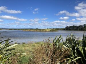
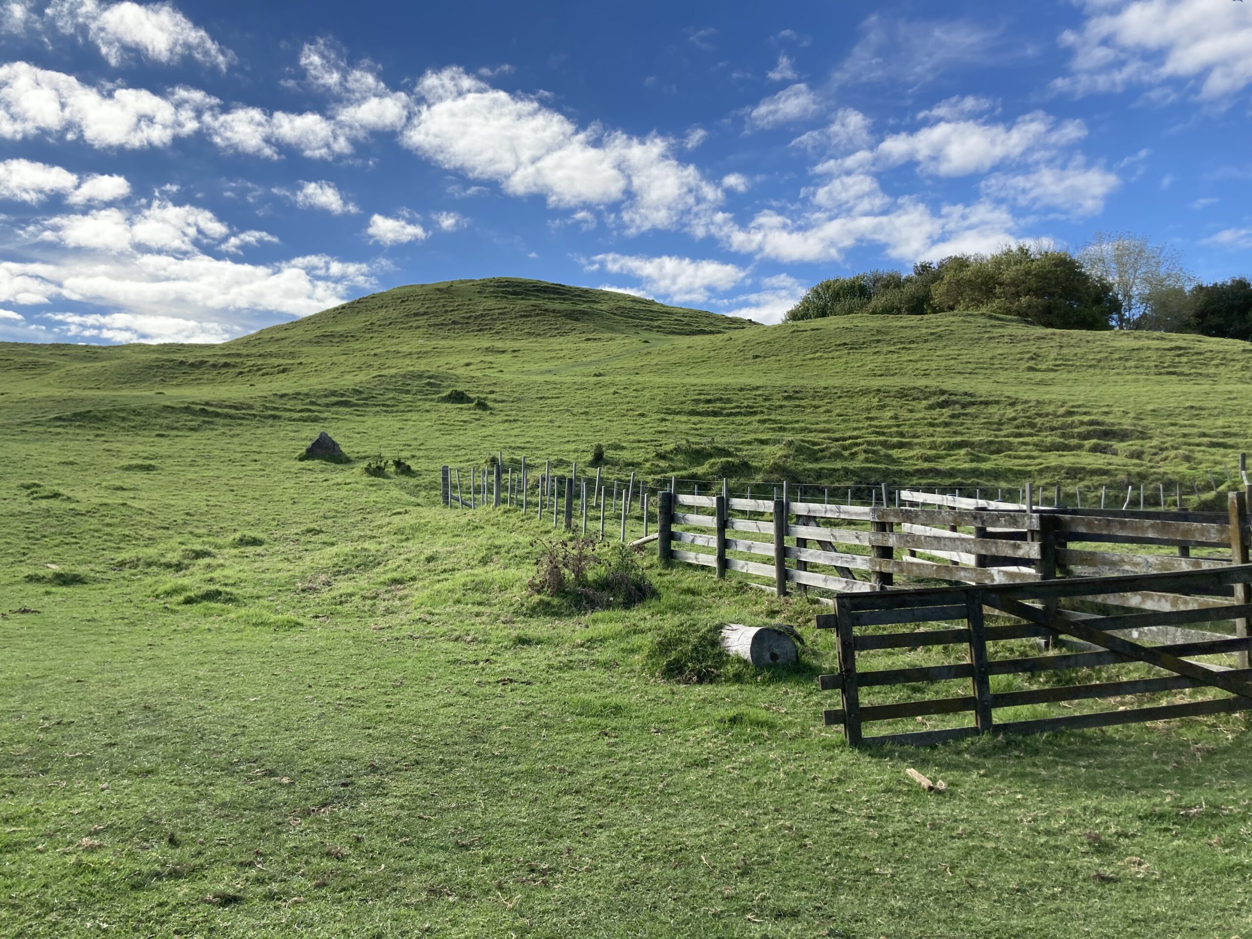
Taurere is a smallish volcano located in the suburb of Glendowie/St. Heliers. It erupted approximately 33,000 years ago. Apparently, it was once an inland volcano, but rising sea levels in post-glacial times meant that it ended up basically on the eastern shore of the Tāmaki River.
Our visit
We came across this volcano initially by accident while we were attending a homeschool class at the Glendowie Community Centre across the road.

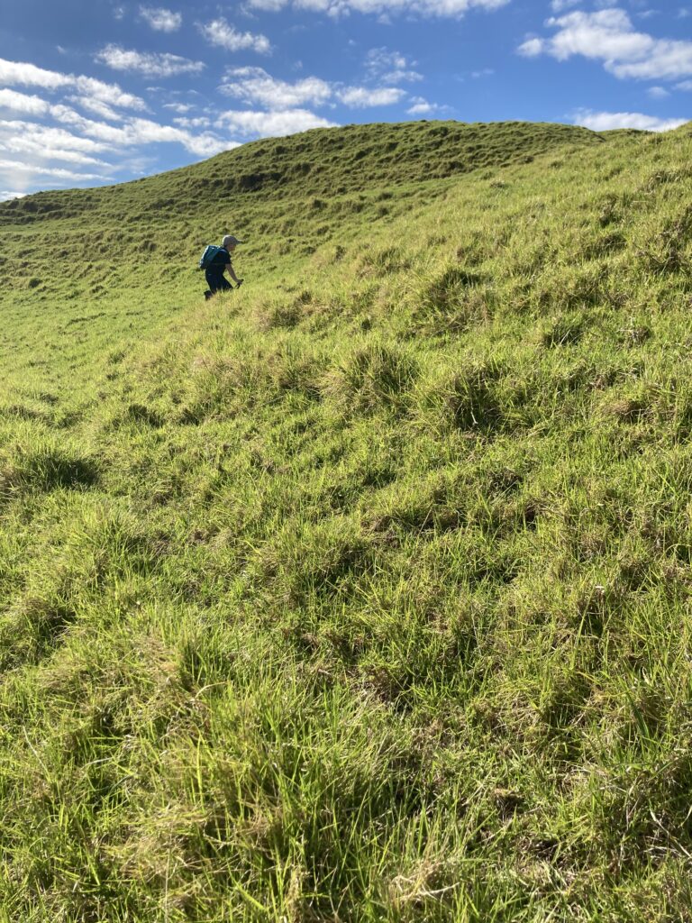
Our volcano-ing at this time was being periodically thwarted by COVID-19 lockdowns and weather events, sometimes occurring at the same time, but Taurere did not disappoint us. It was a nice easy reintroduction to walking up hills, as we’d skipped a few weeks due to a random tsunami alert.

Leo also found a golf club in the grass as we were leaving, so we took a detour to the local police station to drop it off. That’s unschooling for you – one minute you’re up a maunga looking at rocks, the next, you’re at the police station learning how to be a good citizen.
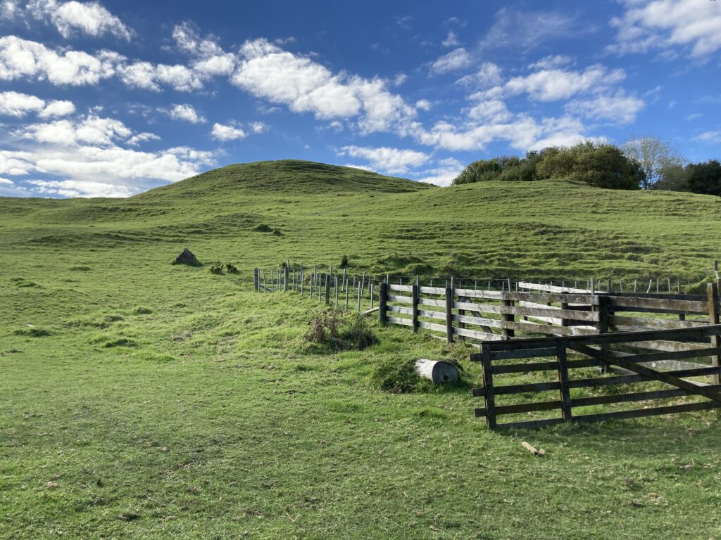
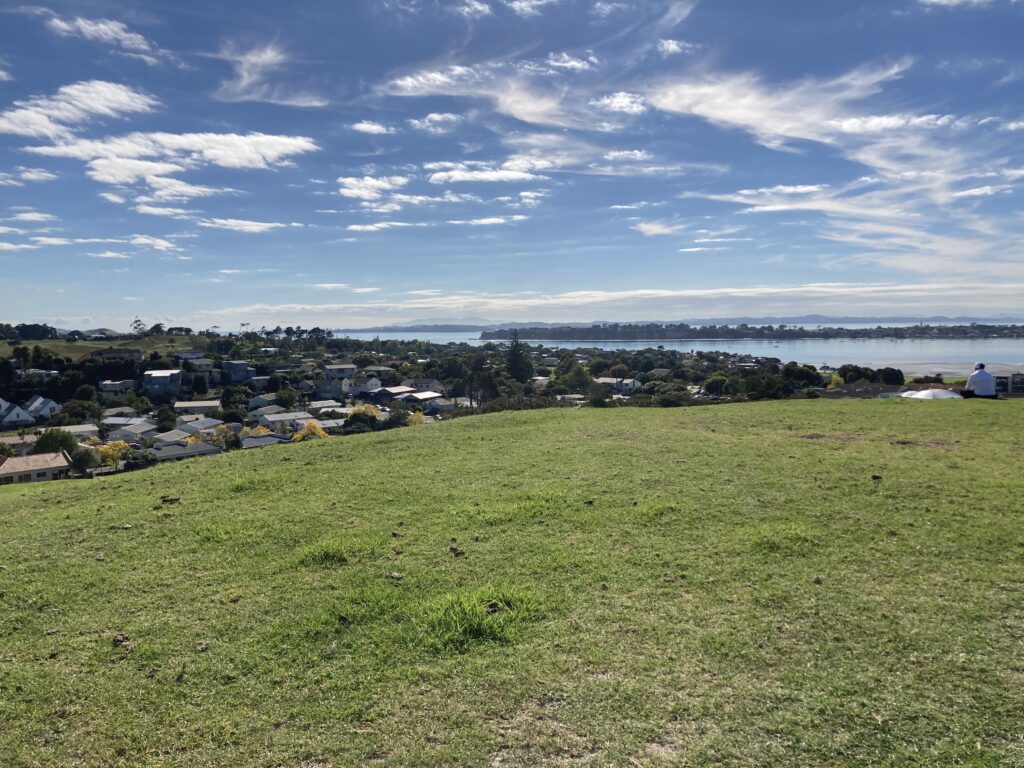
To me, Taurere is about as perfect a volcano as you’ll find in the Auckland Volcanic Field. It’s still mountain-like enough to resemble a volcano, but not so steep and rugged that you struggle to get up it. 10/10 would hike again.
Directions and facilities
To find Taurere, search for Glendowie Community Centre on Google Maps. There is plenty of parking outside the Community Centre, which features a skate park, playing fields and a basketball court. There are no toilets outside of the Community Centre itself. Do take care on Crossfield Road as it’s got a bit of a blind corner.
Happy adventuring,