Date visited: 12 February 2021
Elevation: 20m
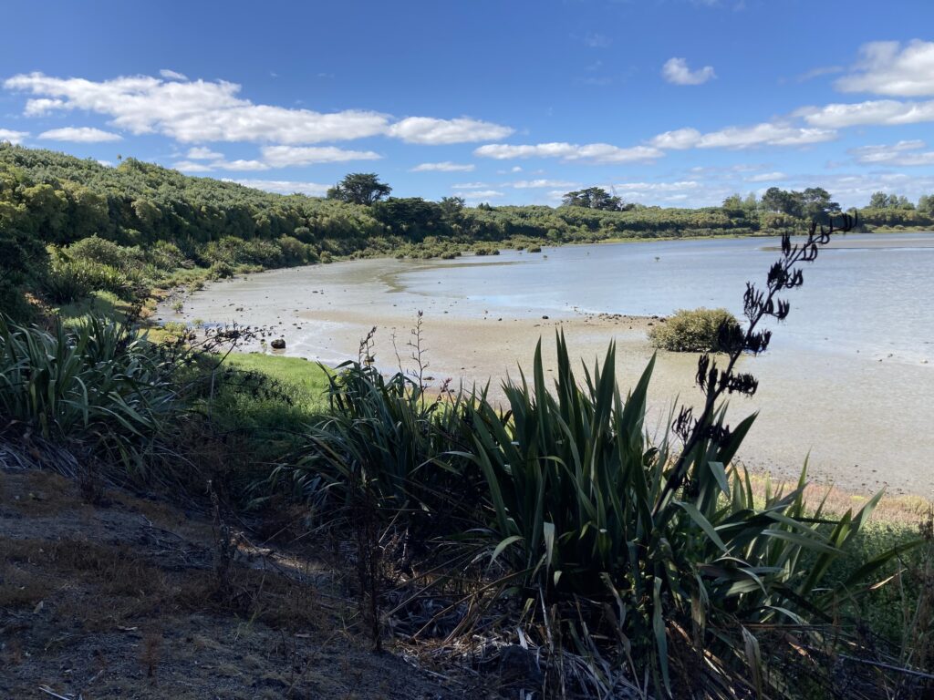
The Māngere Lagoon explosion crater, also known as the Māngere Lagoon Path, is believed to have erupted around 59,500 years ago during the Pleistocene period. Like Te Kopua Kai a Hiku (the Panmure Basin), Māngere Lagoon is also a maar, which is a type of explosion crater that forms when magma comes into contact with groundwater.
Māngere Lagoon is part of a group of volcanic features known as Nga Tapuwae a Mataoho, or “The Sacred Footprints of Mataoho.”

This area used to be part of the Māngere wastewater treatment plant.
Rehabilitation of the area started in 2003, with the removal of sewage sludge and restoration to its original state as a tidal lagoon. This was apparently the biggest coastal restoration project ever undertaken in New Zealand.
Our visit
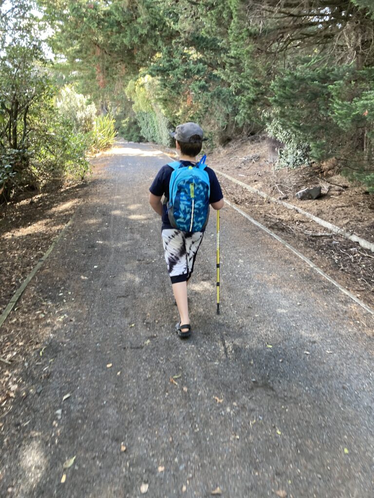
This was our first volcano trip with our new Camelbak backpacks and our walking poles.
According to the Auckland City Council website, the walk is 2.3 kilometres long, 2990 steps, and should take 30 minutes on foot or 10 minutes by bike. It took us a touch over one hour moving at child pace with several stops to eat, so that’s not too bad.
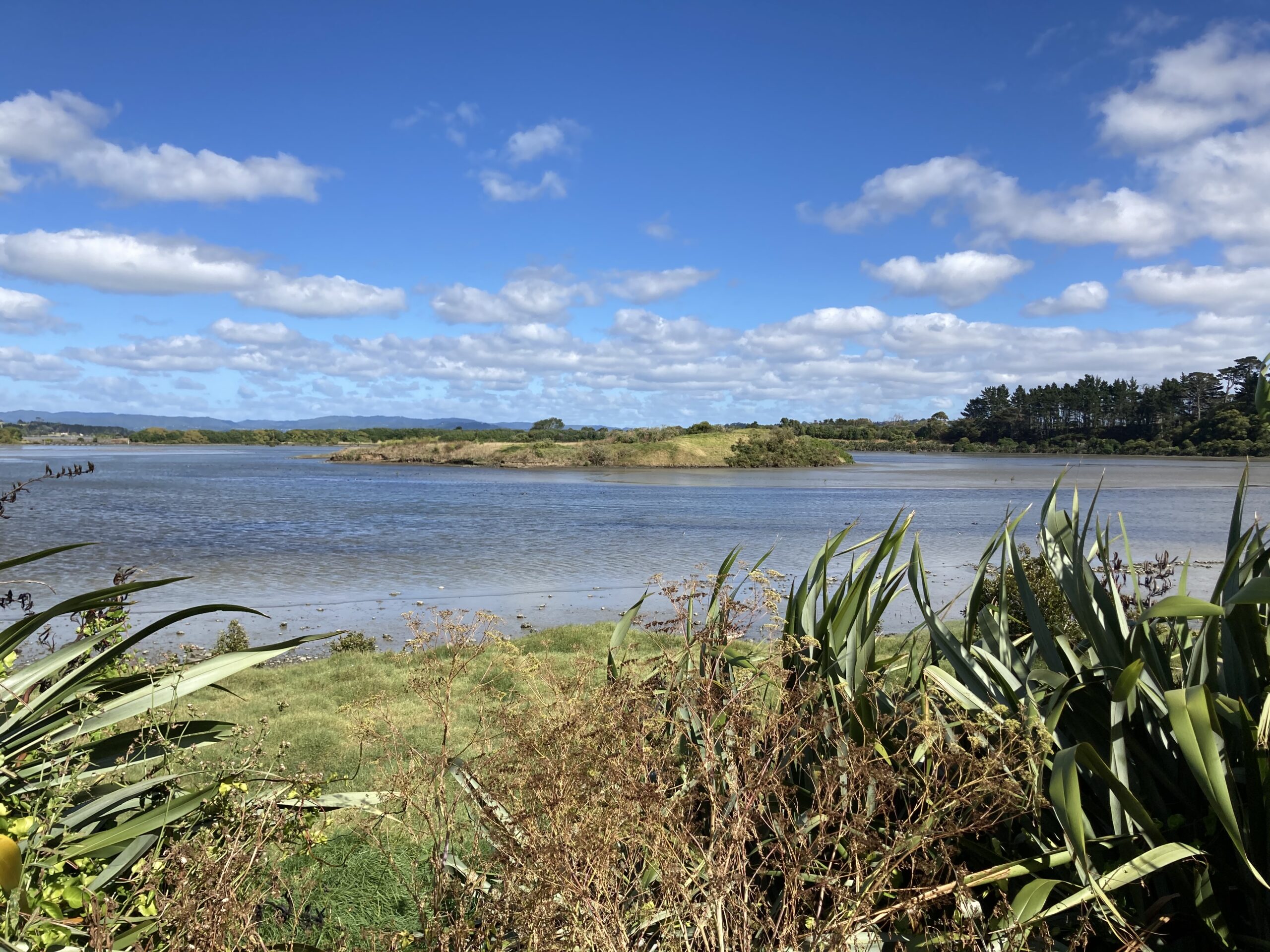
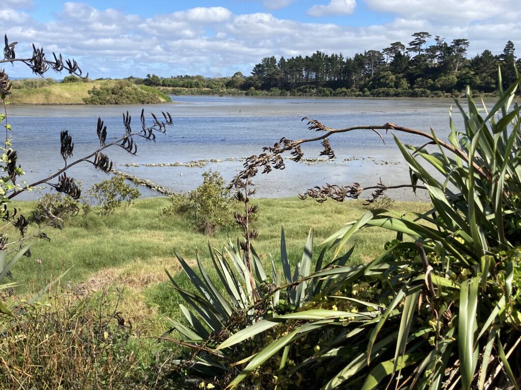
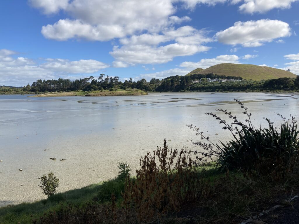
Many native plants have been planted along the shores of the lagoon, replacing the original pine forests that once stood here. One of the coolest man-made features of this spot is the island “cone” in the centre of the lagoon, built to give the birds somewhere to sit. There’s a good view of it in the photo below.
A short way into the walk you’ll get a view of the impressive Te Pane-o-Mataaho (Māngere Mountain).
Towards the end of the walk, on the northern side of the lagoon (or the start of the walk if you go in the opposite direction) there’s a good view of Watercare’s Central Interceptor operations.

The Central Interceptor is a giant wastewater tunnel currently under construction and is New Zealand’s largest ever wastewater project. It is due to be completed in 2025 and will run for 14.7 kilometres from Grey Lynn in the city to Watercare’s facility in Māngere. The tunnel is expected to reduce the amount of wastewater entering waterways and beaches by up to 80%, which can only be good.
We even caught a peek of part of the tunnel itself (or possibly one of the many parts of the tunnel).

This was one of the most interesting volcanic spots we’ve visited to date.
Directions and facilities
The start of the Māngere Lagoon path is located on the corner of Creamery and Greenwood Roads in Māngere. There are no toilets here. The closest public facilities are located on Oruarangi Road, at the entrance to the Watercare Coastal Walkway (which is a separate, longer walk to the one described here).
Happy adventuring,