Date visited: 30 August 2022
Elevation: 135m
Volcanic history
Ōwairaka is believed to have erupted approximately 120,000 years ago. Its summit once rose to about 148 metres (486 ft) and later became the location of a significant Māori pā, featuring clearly visible terracing and defensive trenches used for settlement and protection.
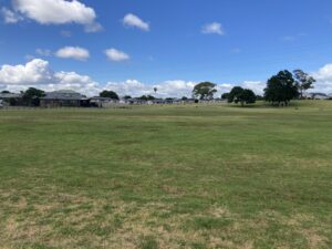
After the Crown acquired the land in 1841, farming and quarrying reduced the scoria cone by about 15 metres and cut its size by more than half. Quarrying stopped in 1928 to preserve Māori trenches. Of the two original craters, one became a playing field and the other a water reservoir. Later work further reshaped the cone, leaving few visible Māori earthworks, though the site remains culturally and archaeologically important. Today, the maunga is used for walking, sports fields, an archery range, and a water reservoir.
Ōwairaka is one of the 14 Ancestral Mountains of Auckland, or Ngā Tūpuna Maunga o Tāmaki Makaurau. In 2014, ownership was returned to mana whenua as part of a Te Tiriti o Waitangi redress and is currently managed by the Tūpuna Maunga Authority. You can find a list of all tūpuna maunga on the Auckland City Council website and specific information about Ōwairaka here.
Our visit
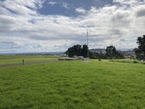
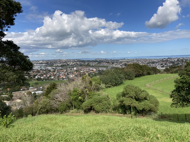
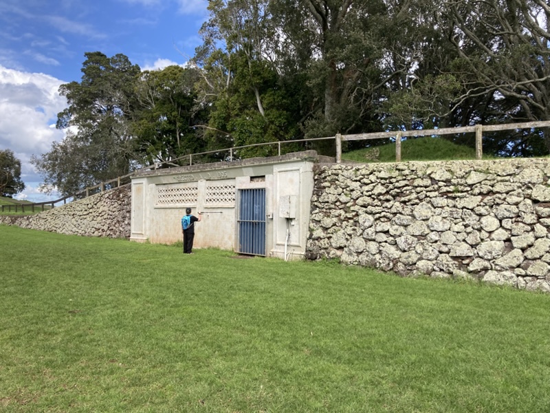
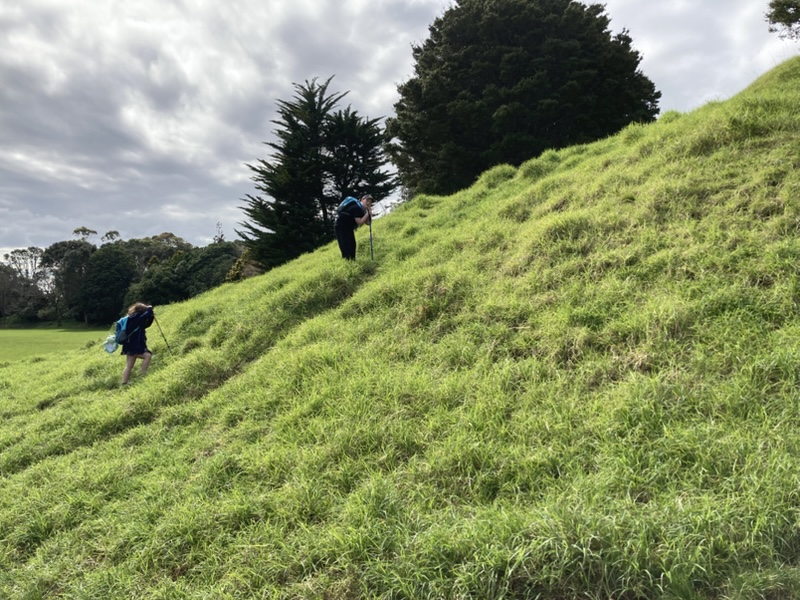
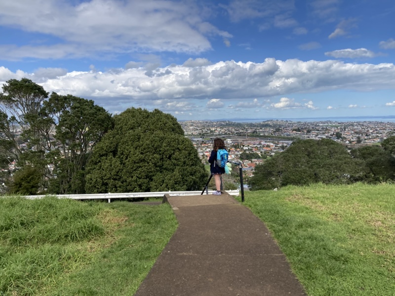
Although Ōwairaka has been pedestrianised to protect the maunga, it was only a short and easy-ish walk to the tihi. Features of interest included this rock wall and a building which I imagine was once changing rooms for this sports field.
Directions and facilities
The entrance to the maunga is at 38 Summit Drive, Mt. Albert. There are some reasonably pleasant and modern toilet facilities located at the base of the maunga, and a small car park.
Happy adventuring,