Date visited: 30 August 2022
Elevation: 110m
Volcanic history
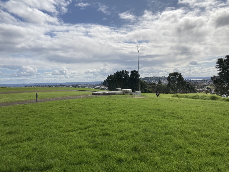
Pukewīwī / Puketāpapa was an important, heavily terraced pā with storage and cooking pits around the crater rim. Much of this was destroyed in 1961 when 25,000 cubic metres of scoria were removed to build a water reservoir. The names mean “hill covered in rushes” (Pukewīwī) and “flat-topped hill” (Puketāpapa).
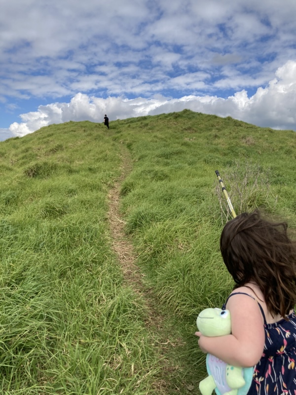
The maunga formed about 20,000 years ago from eruptions at two craters, which are no longer visible, and its summit rises to 110 metres.
Puketāpapa is one of the 14 Ancestral Mountains of Auckland, or Ngā Tūpuna Maunga o Tāmaki Makaurau. In 2014, ownership was returned to mana whenua as part of a Te Tiriti o Waitangi redress and is currently managed by the Tūpuna Maunga Authority. You can find a list of all tūpuna maunga on the Auckland City Council website and specific information about Puketāpapa here.
Our visit
Directions and facilities
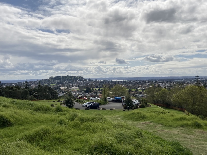
The entrance to the maunga is at 1129 Dominion Road, Mount Roskill, Auckland. There are no toilets here, but there are two carparks. If you travel up to the second car park, it is a short walk to the tihi.
Happy adventuring,