Date visited: 8 February 2021
Elevation: 35m
Volcanic history
Te Kopua Kai a Hiku or the Panmure Basin is an estuary found within a maar in east-ish Auckland. A maar is a type of crater that forms when magma comes in contact with groundwater, producing an explosion. This interaction creates a bowl-shaped crater that is usually surrounded by a ring of debris, known as a tuff ring. Maars are usually found in areas where the groundwater table is high, such as near rivers or coastal areas.
Te Kopua Kai a Hiku or the Panmure Basin (or Panmure Lagoon, as it is sometimes called) is thought to have formed around 25,000 years ago. The maar was then breached, possibly by erosion, allowing water from the Tāmaki River to enter (see the creating the tidal estuary we see today.

In 2008, scientists found a small scoria cone buried in the mud inside the explosion crater. This cone is believed to have formed during a second phase of the volcano’s eruption. Initially, the eruption was explosive due to magma interacting with cold water, but once the water was gone, the eruption changed to a dry phase, creating the scoria cone. This demonstrates that the Panmure Basin is similar to other volcanoes in the Auckland Volcanic Field, which also have scoria cones inside their craters.
Our visit
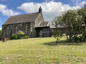
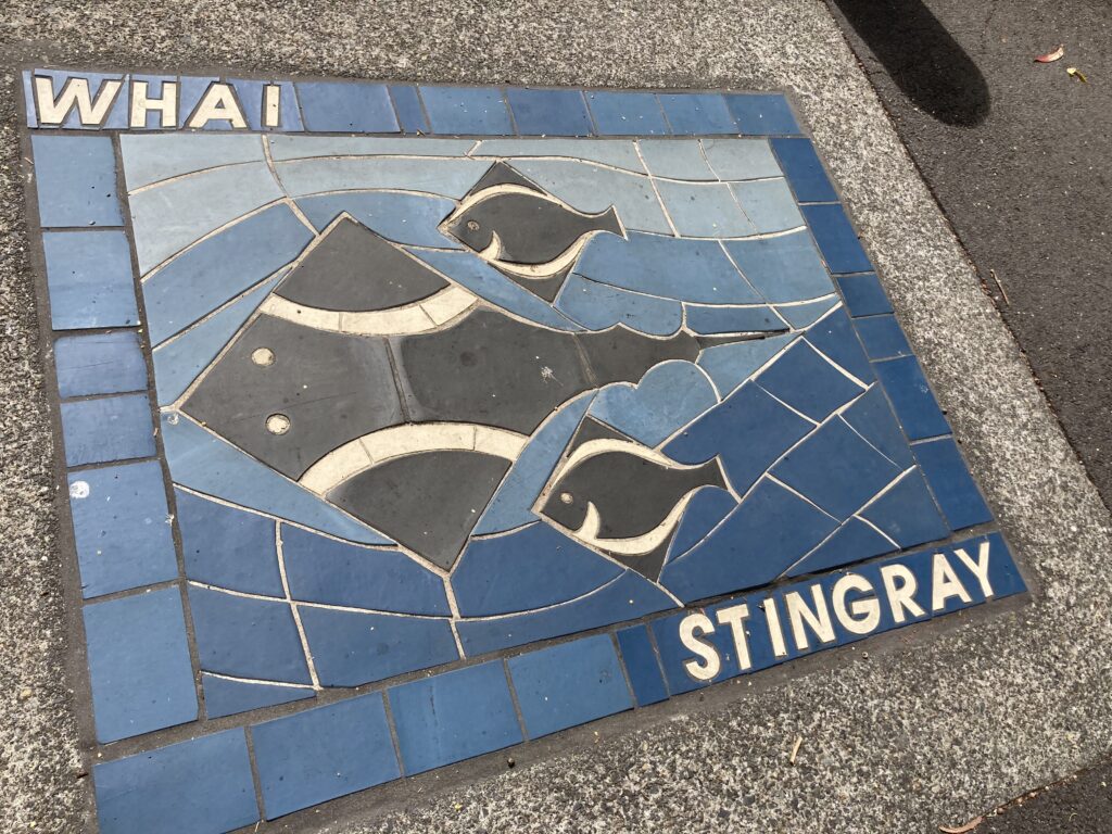
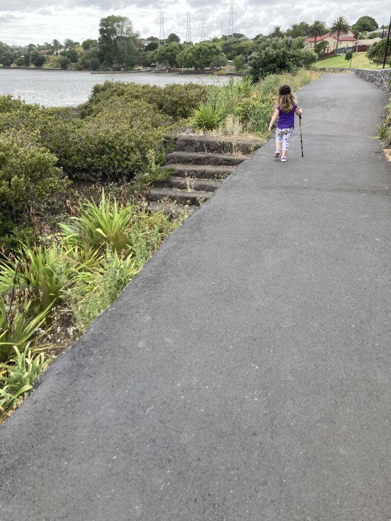
As an Aucklander, I’ve walked around the Panmure Basin numerous times in my life, but it wasn’t until we started our #avfproject that I became aware of its volcanic past. According to the Auckland City Council website, the path is 3.2 kilometres, and should take you 30 minutes. With two small children it took us four times that long, but it was a wonderful walk with lots to look at and we took a lot of photos. This is a great walk to do with kids (regardless of your interest in volcanoes) because there are numerous spots to stop and play along the way.
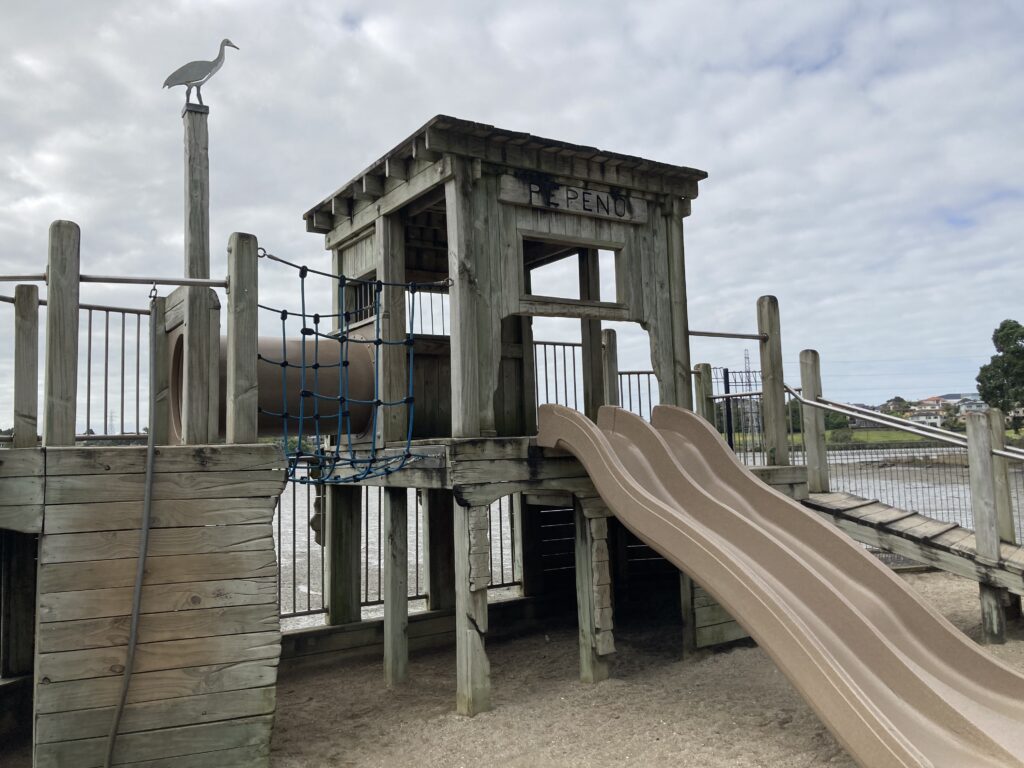
We started our walk at the northern end of the Lagoon Drive entrance to the basin, where there is a playground. There are various points to start the walk from, but this appeared to be the most convenient in terms of parking. We then set off in a northerly direction, towards what folks my age would know as Swim-a-Rama (it’s still there, but it’s called the Lagoon Pool & Leisure Centre now).
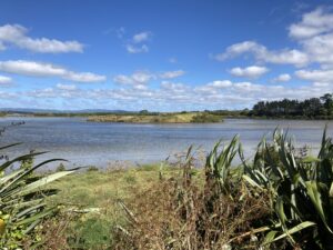
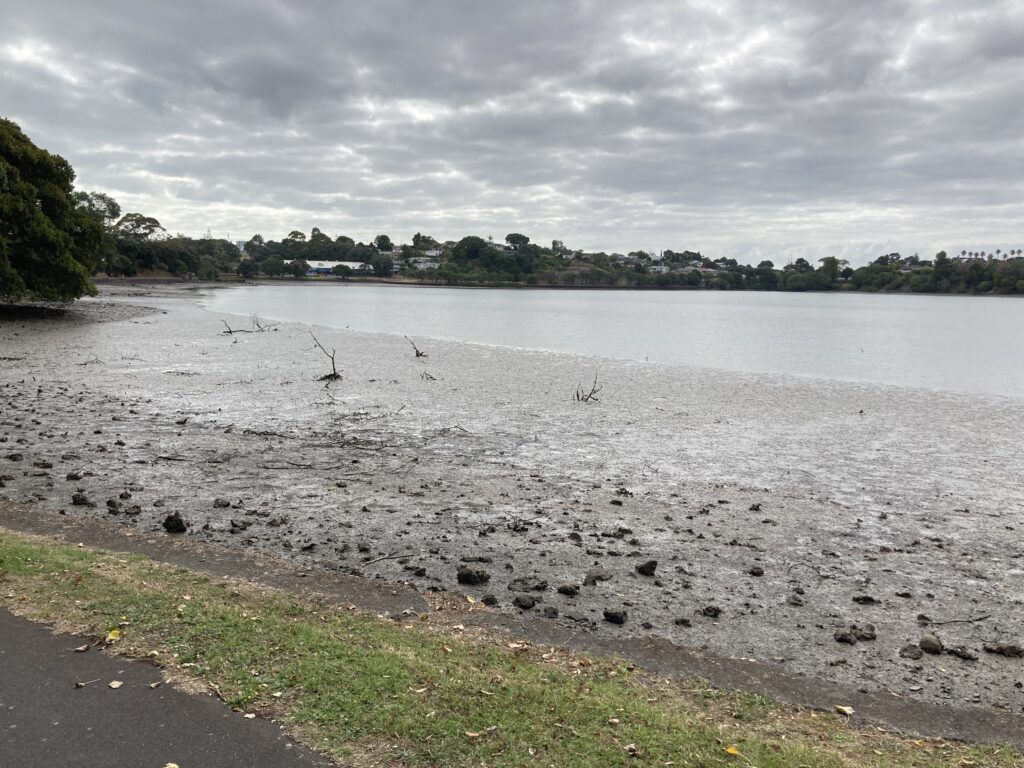
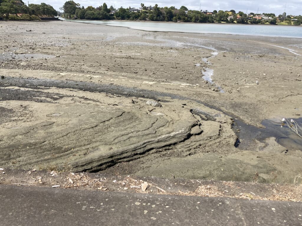
Being a tidal estuary, the tide is sometimes out (lol). On the northern side of the basin you can see exposed layers of volcanic ash (see below)
At the time of our visit, the Waipuna Hotel and Conference Centre (the beige building in the picture below) was being used as a COVID-19 quarantine hotel. It was heavily fenced off and had security guards.
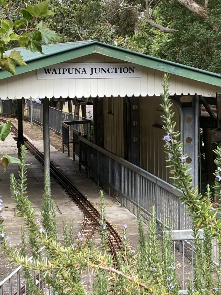
I’d forgotten about this! The Panmure Basin is home to the Auckland Society of Model Engineers and there’s an awesome model railway track here where you can catch a little train on the weekends.
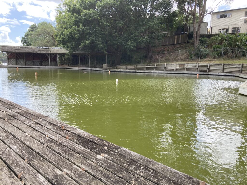
It’s also home to the Scale Marine Modelers where they drive (sail?) remote control boats in this murky pool. On the day we visited there was no one here but a bunch of ducks.
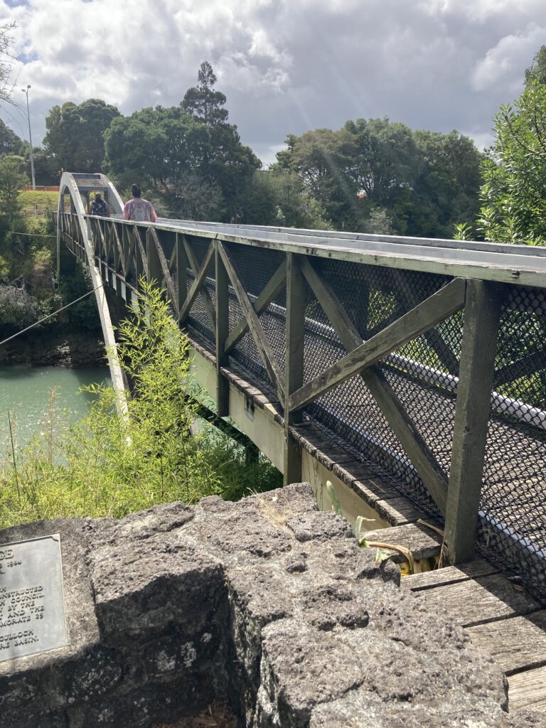
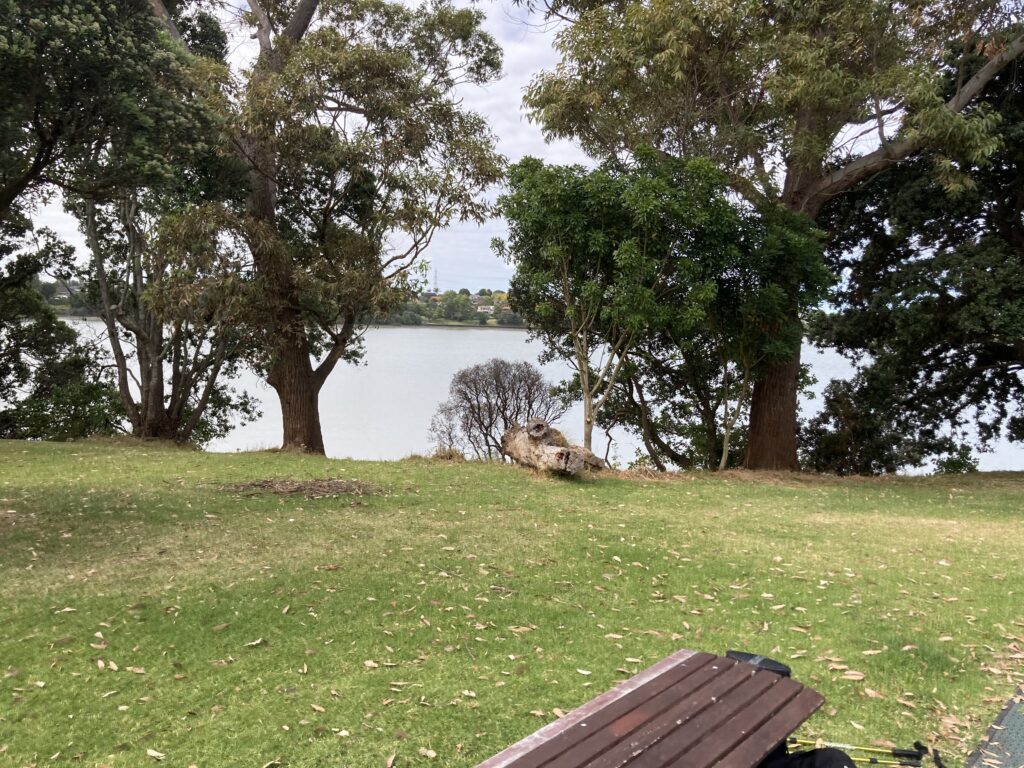
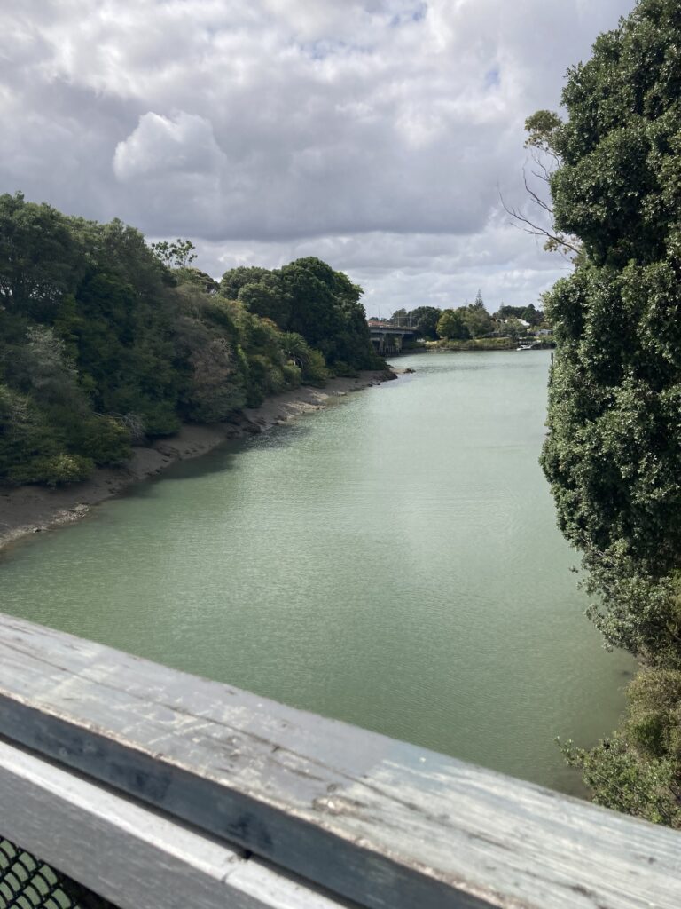
The last major feature of the basin walk is the Jubilee Bridge, a narrow pedestrian bridge that get you back to the Lagoon Drive side of the road. The bridge was built in 1984, making it nearly 40 years old, and it has recently (at time of writing) been closed for replacement. Looks like we’ll have to go back for another walk when (if) the new bridge ever gets built. The views around here are very nice.
Lastly, here’s a good picture of the aforementioned ash layers that are exposed at low tide. Amazing to think that this piece of rock is 25,000 years old.
Directions and facilities
There are numerous starting points to this walk:
- 34 Lagoon Drive – there is parking at this location and also toilets.
- Cleary Road – behind the Lagoon Pool and Leisure Centre, no official parking but you can park on the road.
- Off Ireland Road – there are toilets and a playground here.
- Peterson Road off Waipuna Road (which is where the model trains and boats are located).
Happy adventuring,