Date visited: 20 January 2021
Elevation: 55m
Volcanic history
Ōhuiarangi was formed approximately 24,000 years ago through volcanic eruptions, which created a scoria cone and a small lava flow that extended down the valley. The tihi is the highest point of the scoria cone. Unfortunately, as with many of the Auckland maunga, the entire northern half of the cone was quarried away between 1913-1970, with the metal used for roading in Howick.
Ōhuiarangi has a variety of names. First is Te Pakuranga-Rāhihi, or Pakuranga. This name refers to a battle said to have occurred between the supernatural Tūrehu people that started at the maunga. Then there’s Pukepane, and Ōhuiarangi. The latter translates to “the desire of Rangi” and refers to the ancestress Huiarangi, a prominent figure in the early settlement of Auckland. When the pākehā came along, they initially called the maunga “Pigeon Hill” because of the many kererū in the area.
Ōhuiarangi, like Ōtāhuhu, is one of the 14 Ancestral Mountains of Auckland, or Ngā Tūpuna Maunga o Tāmaki Makaurau. In 2014, the ownership of Ōhuiarangi was returned to mana whenua as part of a Te Tiriti o Waitangi redress and is currently managed by the Tūpuna Maunga Authority. You can find a list of all tūpuna maunga on the Auckland City Council website.
Our visit
Ōhuiarangi is a special maunga to me because I grew up right at the base of it, although as a child, I was completely unaware of it being a volcano and just thought of it as a bit of a hill. Until recently there was a dirt BMX track on the northeastern side of the maunga where we spent a lot of time as kids. This has now been removed and it appears the maunga is being rehabilitated with new planting, which is nice to see.
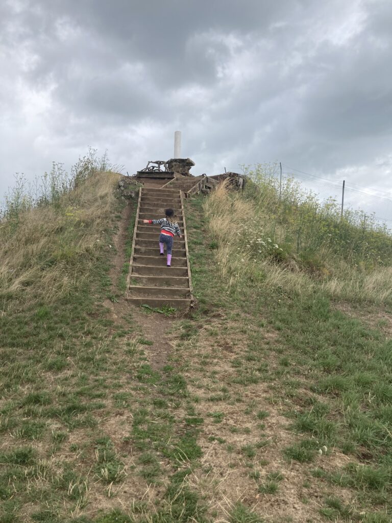
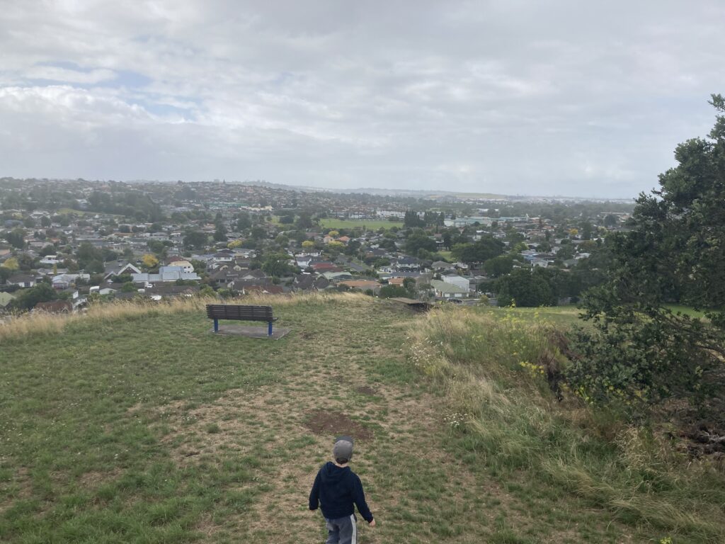
We started our trek from the Gills Road (south) side of the maunga. It’s a fairly short walk, but a steep climb to the tihi involving stairs. As you can see, rain was threatening on this day.
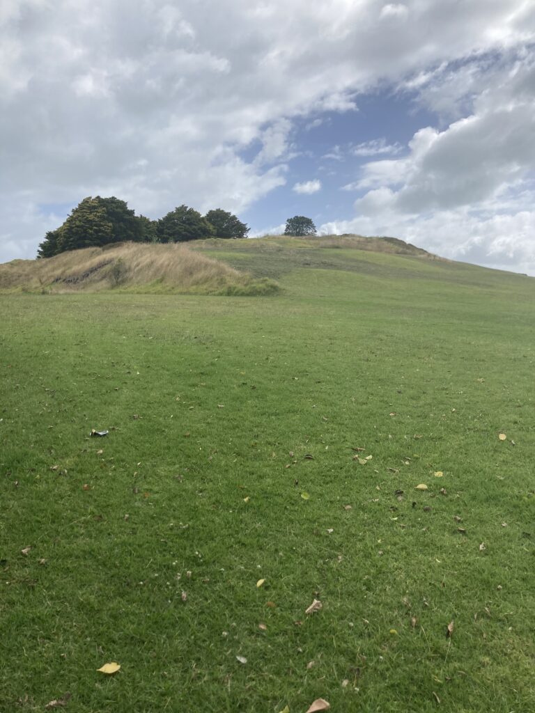
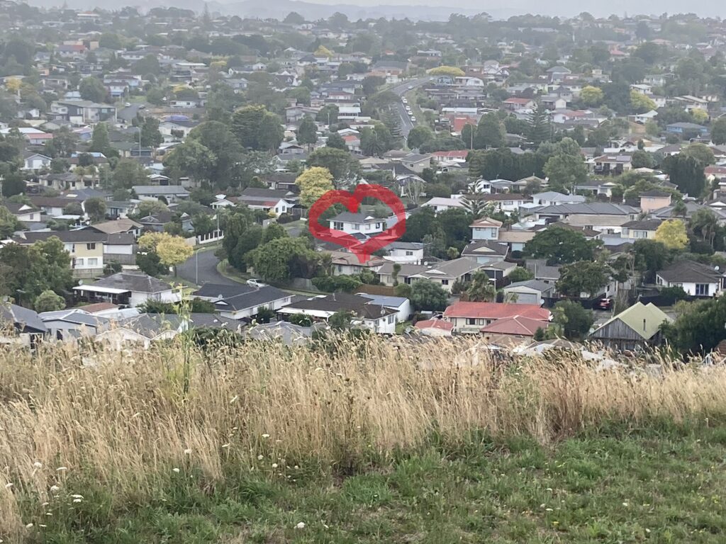
It’s an expansive view from the tihi, looking towards Bucklands Beach/Macleans area. There’s my old house!
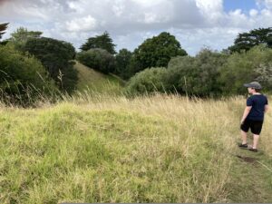
The top of the maunga is a little treacherous due to loose rocks and overgrowth of vegetation hiding the terrain. There is a lot of new planting in the area, so be a decent person and don’t trample on things! I’m not sure if the depression on the right in this photo is part of the crater, or a result of quarrying on the northern slope of the maunga.
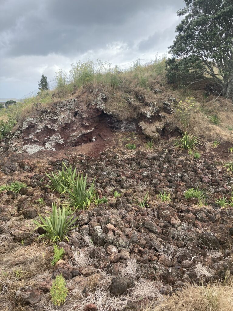
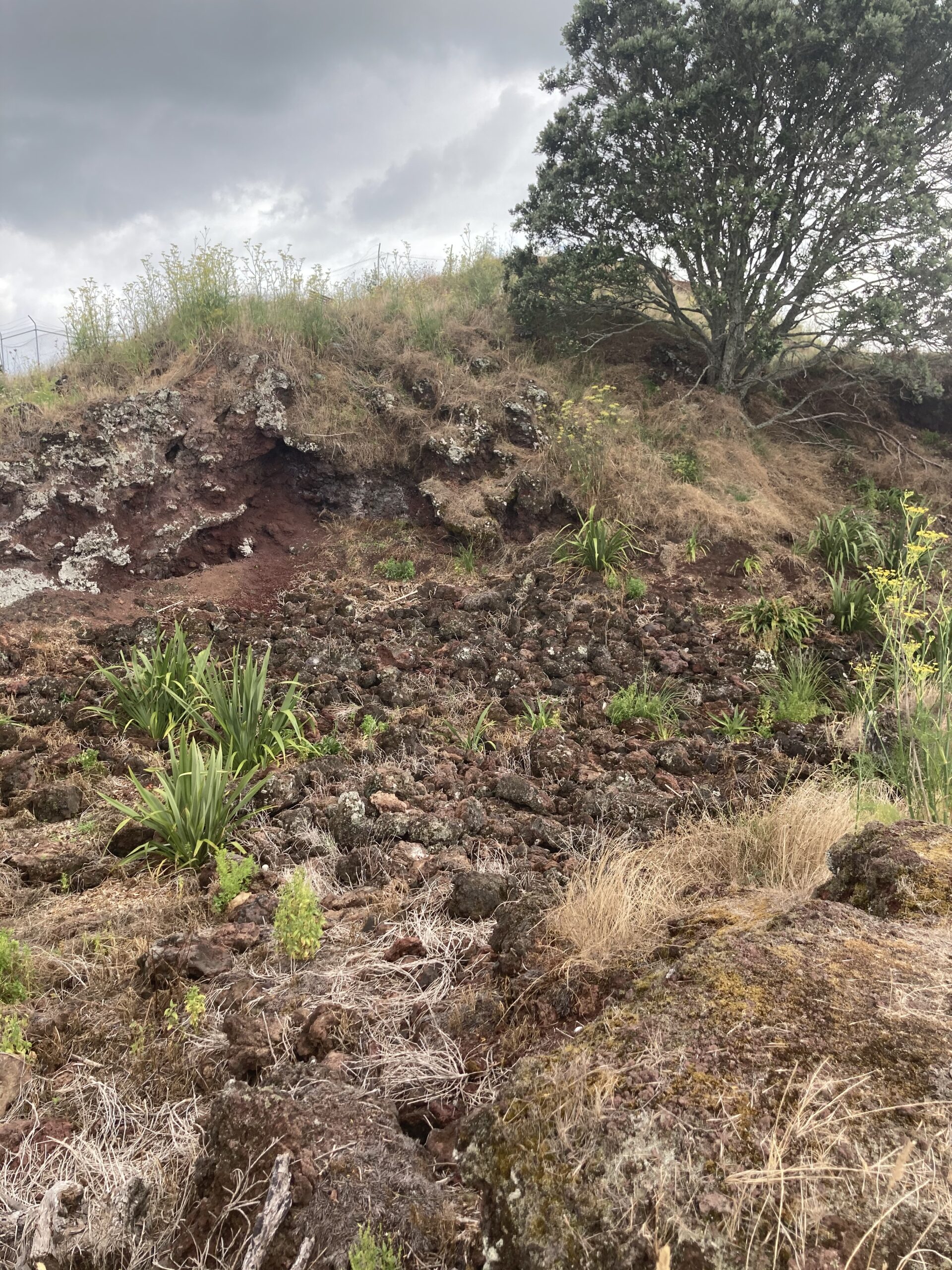
The general aesthetic of this maunga and is really interesting. There’s loads and loads of scoria and lava bombs and its very desert-like. Did you know that the Auckland Volcanoes produce mostly scoria? Apparently so. They’re called scoria cone volcanoes. One day I’m hoping to find some rhyolite, although I think I might have to travel further south for that.
There are also allegedly several geocaches in this area, but the one supposedly at the tihi was missing and the other one was an Adventure Lab one that went in the too-hard basket.
We didn’t stick around too long on this day as it started to rain. We will go back at some stage to attempt the Adventure Lab geocache.
Directions and facilities
You can get to Ōhuiarangi from Gills Road, or Pigeon Mountain Road where there is a kindergarten. Both spots have parking, although if kindy is in session it could be a little crowded. There are public toilets located on the eastern side of the maunga, and it’s just up the road from Half Moon Bay Marina, which is a nice place to go for refreshments.
Happy adventuring,